Global Peatland Hotspot Atlas
by Helena Plochberger (comments: 0)
Launch & call to action at COP29

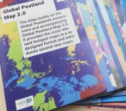
21/11/24 Brandnew, incredibly informative and well designed: the new Global Peatland Hotspot Atlas launched in a peatland side event Side Event at the climate summit COP29 in Baku today! It presents the most up-to-date data on world’s peatlands in a Global Peatland Map 2.0 visualizing global threats and opportunities for peatlands.
That’s new:
- regional maps on all six continents
- thematic maps on biodiversity, permafrost, water supply and more
- maps on degradation, greenhouse gas emissions, peatland use, environmental risks etc
This Global Peatland Hotspot Atlas is a call to action to place peatlands at the heart of the global environmental agenda! It enables decision makers to scope potential regions for conservation, restoration, and sustainable management, since time to act is now.
The Atlas was issued by UNEP as a product of the Global Peatlands Initiative with maps of the Greifswald Mire Centre.


