Together for Europe's peatlands
by Dorothee Scheuch (comments: 0)
GMC team in on the action

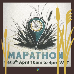
A map of all peatlands and wetlands in Europe is to be created as part of the Mapathon at the University of Galway, Ireland, on 6th April. A team from the Greifswald Mire Centre will also play its part.
The event is intended to draw public attention to the peatlands, but also to the opportunities offered by open data. The wetlands will be considered from the following perspectives: Biodiversity, Climate Protection, Energy, Community & Culture, Environmental Quality - Water, Soil & Air, Land Use & Agriculture, Research & Applied Sciences, Economy.
Here's how it works: Each team selects a specific geographical area that it would like to map, usually a European country. With the help of open data, mire areas and the categories assigned to them are visualised.
The Mapathon will be streamed live on Zoom and YouTube throughout the day, and a technical support team will be available to answer questions via Google Chat. A full list of discovered open data on peatlands will be distributed to all participants after the event.
Interested parties are encouraged to participate online or on site. The main tool used will be QGIS. There will be an introduction and technical support if required.
A mapathon is a coordinated mapping event where the public is invited to make map improvements in their neighbourhood to increase coverage. The knowledge and work of many is brought together to form a whole from which everyone benefits.
The European Peatlands & Policies Open Data Mapathon 2024 starts on 6th April at 11 a.m. CET, and there are also great prizes for the best teams: The winners will receive 1200 EUR.


